
12 Jul Bathymetry – Palaeogeography of Anavyssos Bay, Attica


Geomorphological survey of the seabed of a shallow water zone using a multibeam echo sounder. Pilot site: Anavyssos Bay, Attica, Greece
The geomorphological survey in Anavyssos Bay started in 2023, following the relevant licensing of the Hellenic Ministry of Culture and Sports, and is expected to be completed within 2024. It is conducted by the Society for the Study of Ancient Coastlines – AKTES in collaboration with METRICA SA, which provides the required technical equipment.
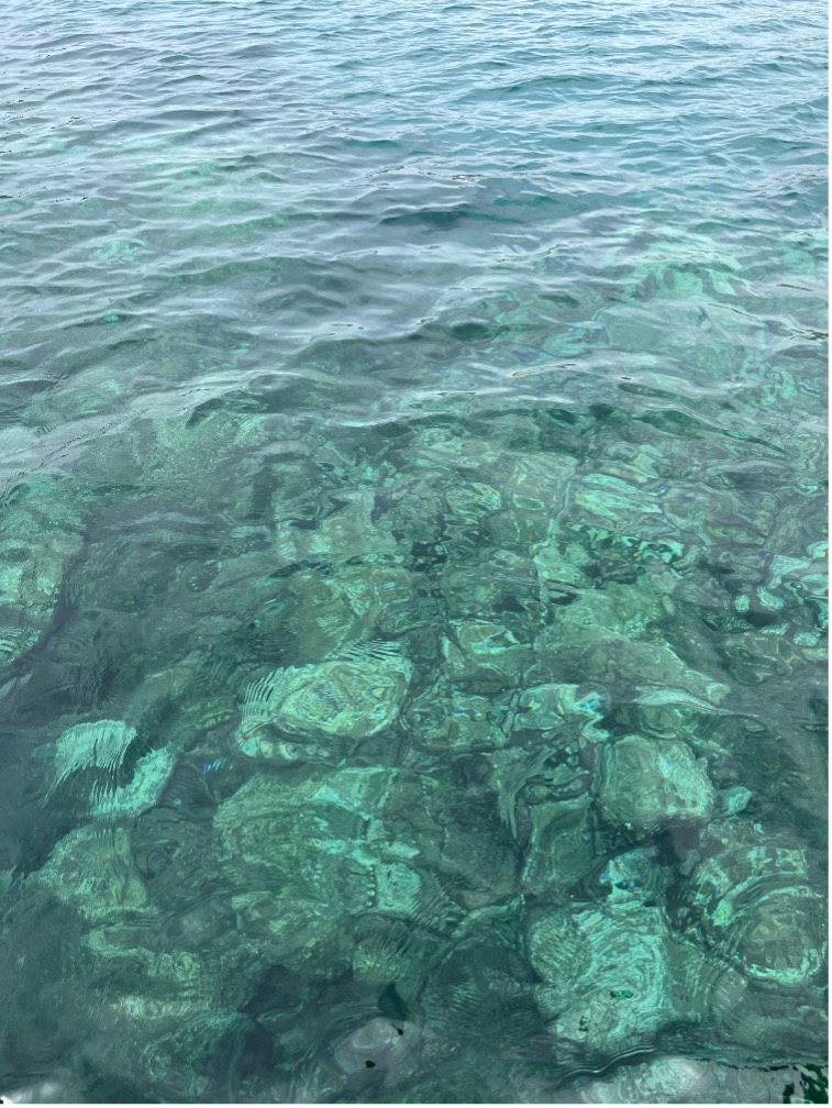
The objective of the research project is the detailed bathymetric survey and mapping of the shallow water zone of Anavyssos Βay, located on the SW side of Attica peninsula in the Saronic Gulf. The bathymetric survey is carried out using a modern Multibeam Echo Sounder and is complemented with mechanical depth measurements at selected, very shallow, zones (<2 m). The survey aims to provide a bathymetric map at an appropriate scale with accurate bathymetric data and isobaths and a digital spatial 3D model of the seabed with geomorphological (natural) features or artificial (man-made) structures.
The results will be integrated into the research project “The Roman Attica Project – RAP” (https://romanattica.eu/), conducted at the Institute of Historical Research/National Hellenic Research Foundation with the participation of researchers and academics from various institutions in Greece and abroad, which aspires to function as a hub for disseminating research on Roman Attica and Athens.
Team
Dr Eleni Kolaiti (AKTES), Panagiotis Merticas, Surveyor NTUA (METRICA SA), Dr Nikos Mourtzas (AKTES), Theodoris Xenakis, Surveyor NTUA, MSc (METRICA SA).